Wco MAPS
Canadian Rockies Field Guides
To better understand what a series of guides require, we began testing in our backyard the Canadian Rockies.
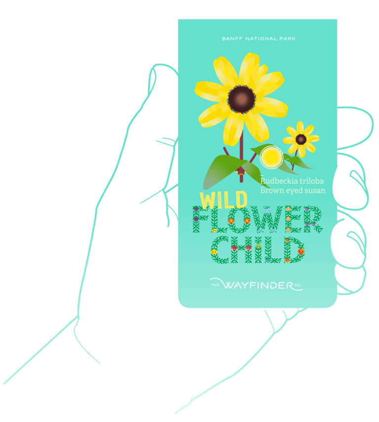
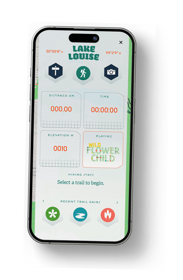
Over a span of five years we tested on trail and fostered relationships and knowledge accumulated after a lifetime of wandering. Refining a solution for trail users, the people we brought together innately understood environmental changes, saw a need to make a guide solution that could accommodate new innovations. Our AR Channels record your adventure, create a living map to reveal insights into the natural world, evolving landscape and first peoples of the Canadian Rockies. Using the sustainable and trail tested Active Guide System (WcoAGS) gamified elements launch from our maps to encourage, aspire and supplement each trail user's experience.

A host of mountain culture experts were our first source, time in the museum and archives also enabled us to tap into the rich history of Canadian mountain culture.
Rewriting the scripts that were first in place was a great challenge, partners, alliances and diverse minds have helped us foster a conservation mindset. Places anchored into the Canadian landscape become a chance to involve the next generation of mountain enthusiasts and embrace trails with more diverse and inclusive options. Becoming artifacts of the experience our line of Canadian Rockies Field Guides is available in a host of retailers, an evolving line they continue to inform us on how to design better trail experiences and involve feedback from guides to retailers.

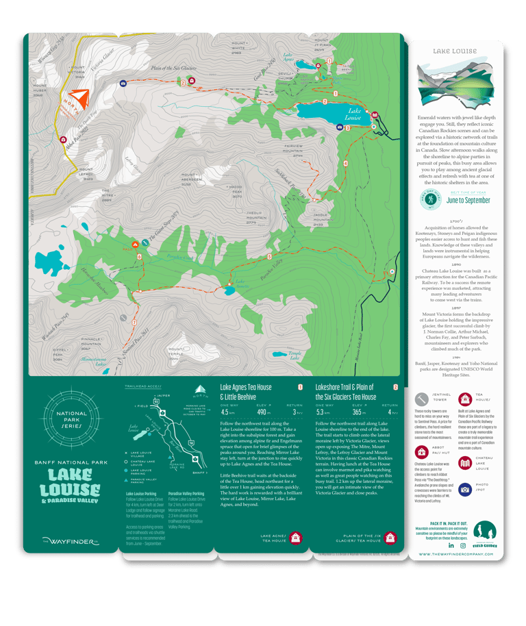

Our Lake Louise CRFG guide.
Real artifacts earned in the digital applications connects users further to the experience.
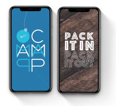

Elevate Knowledge
Content to inform and educate your mountain skills in contextual situations so that the information becomes ingrained in the vocabulary of trail ettiquette.
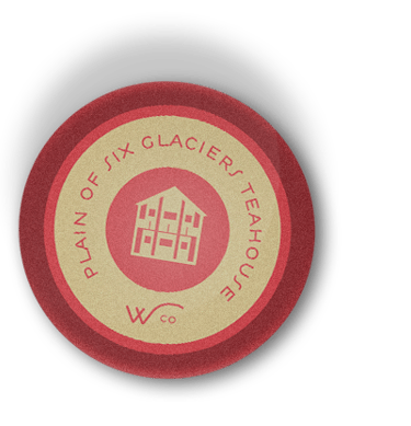

Artifacts of the experience.
Analog Tools that launch deeper connections.
