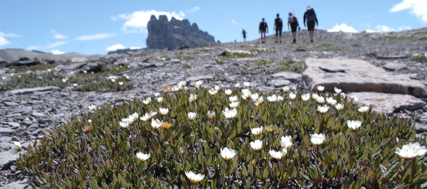
Our own path to the trail.
Rich Rawlyk
The opportunity to speak about where our guides started, and walk through their evolution is an enlightening journey, it allows us perspective. A chance to revisit the many steps that lead to what we call our Active Guide System, along with this we have created a library of working guides for hikers of all levels. Working on the trail, with other hikers and alongside local trail associations has allowed us a greater understanding of the needs of “Trails”. Learning more about fellow trail users has merged with a long passion for trails ourselves, time in the outdoors is our measure of success and we have been developing better ways to support the hiking experience for a number of years now, this makes us feel lucky and glad we can share with you.
We are fortunate to have been raised along the Rockies, we grew up playing/exploring and testing ourselves in the foothills and Canadian Rockies, we have been sharing our discoveries with friends and family a while now. Early interactions were limited to hand sketched maps, cryptic directions in the columns of lent books and stories post hike. Emails made it easier to pass on the trailhead notes, links with contextual information highlighted what made each area unique. The recommendations and information compiled over the years, and through many sources, while we still find that first hand Trail Time offers the best insight, thankful this reassuring source helps us move slowly on the trail, collecting observations and go often to stay in touch with these places.
Initially as young hikers, early edition of books served to base our research, we soon outgrew them and quickly stopped carrying them, large maps showed a small section of our goal, cumbersome they remained in our packs on less than perfect days. For those new to hiking! The information was overwhelming and a small audience grew, the encyclopedia books to trail systems were poor user experiences. Out of print or in a state of consistent reprints, the misguided information led to the weight of ideas that the backcountry was an intimidating proposition, eventually more dynamic and timely information found its way as forums and technology savvy members of the outdoor community started to post and share real time information. This new resource bolstered a growing community of explorers. Technology emerged not only in devices and navigation but in the fabric, tools and garments that enabled us to move further into the backcountry, while being lighter and faster, efficiently setting new boundaries became a norm and we travelled deeper into remote spaces.
In our Canadian Rockies, trails extend beyond foundations established by Swiss guides, many Canadian institutions and established brands exist to help us get out to the outdoors, and as hiking grows everywhere, we wanted a guide/format that reflected each place, created a rich connection so that you can understand the diversity of these places. You can see why they are so essential to us, worthy of conservation and support. We also wanted to give back to trails, bringing all of the bigger picture details into one place for context, to support your adventure and see how we are all interdependent.
Our guides are a product of following Wayfinder’s before us, we research and design with their knowledge imbedded into our thoughts, we have asked and used hikers of all levels to show us what is relevant to the trail, prototypes became more focused and our content changed in surprising ways. As we ventured beyond battery life, and found adventure in more remote locations we noticed our maps needed to become more hiker targeted and we emerged our map styles. The importance of maps is key, but such small details as using illustrations instead of photos… giving away the ending is not our goal. It is to let you find your way.
Wco
The steps involved in the Wco process to date.
Rich Rawlyk